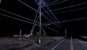
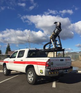
 Our Topcon IP-S2 HD LiDAR mobile mapping system collects 1.3 million points per second at a range of 100 meters. With a 360 degree horizontal field of view scanner, it provides one the greatest point cloud density and longest range available in a mobile system today.
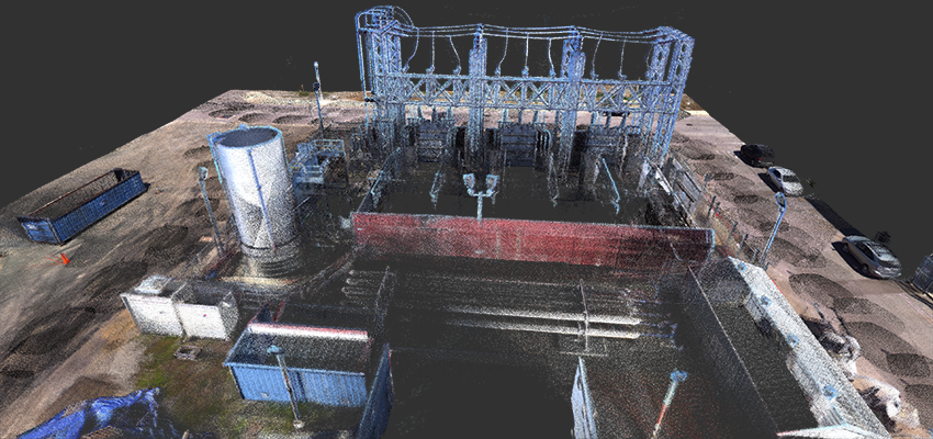
Mobile LiDAR Scanning, ensures accurate information required for planning purposes; including parcel and utility mapping, and database and vegetation management of above ground infrastructures.
Our mobile LiDAR effectively addresses utility infrastructure needs such as mapping electrical and telephone grids in both urban and rural areas. It also provides a fast and affordable means to create accurate mapping data. The details obtained in a high definition point cloud unit allows overhead power lines to be captured, which can be missed with standard definition mobile mapping systems.