Hayward Corporate
(408) 988-0101
Fresno
(559) 272-1375
Ontario
(909) 510-5535
Sacramento
(510) 461-1792
Toggle navigation
Home
Services
Projects
Safety
Key Personnel
Contact
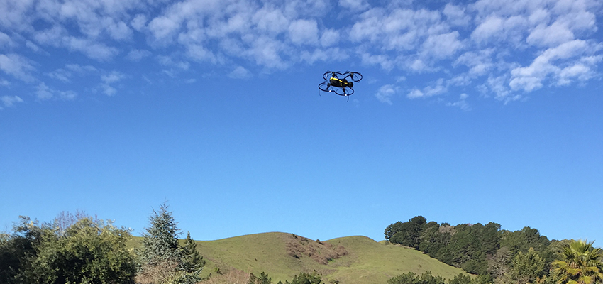
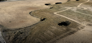
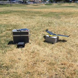
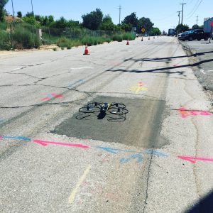
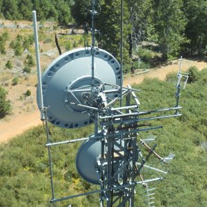
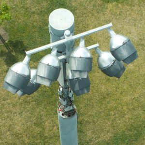
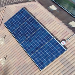
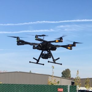
Aerial Mapping & Inspection
Aerial mapping for orthophotos and terrain models.
Aerial inspection and 3D modeling.
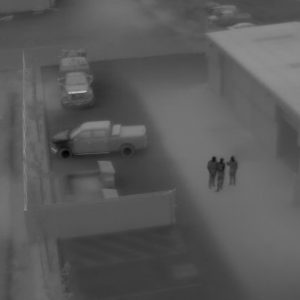
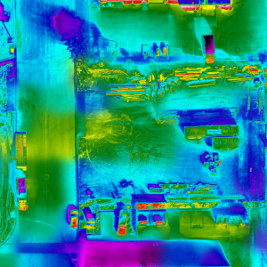
Aerial thermal infrared inspection and mapping.
Bess Downloads
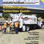
Featured in “Underground Construction” Magazine
Many Uses For Air Vac Systems
Download
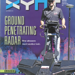
Featured in “XYHT” Magazine
GPR Revisited
Download