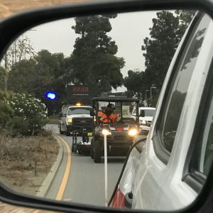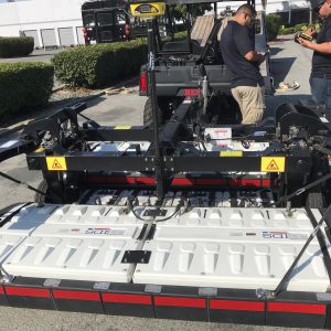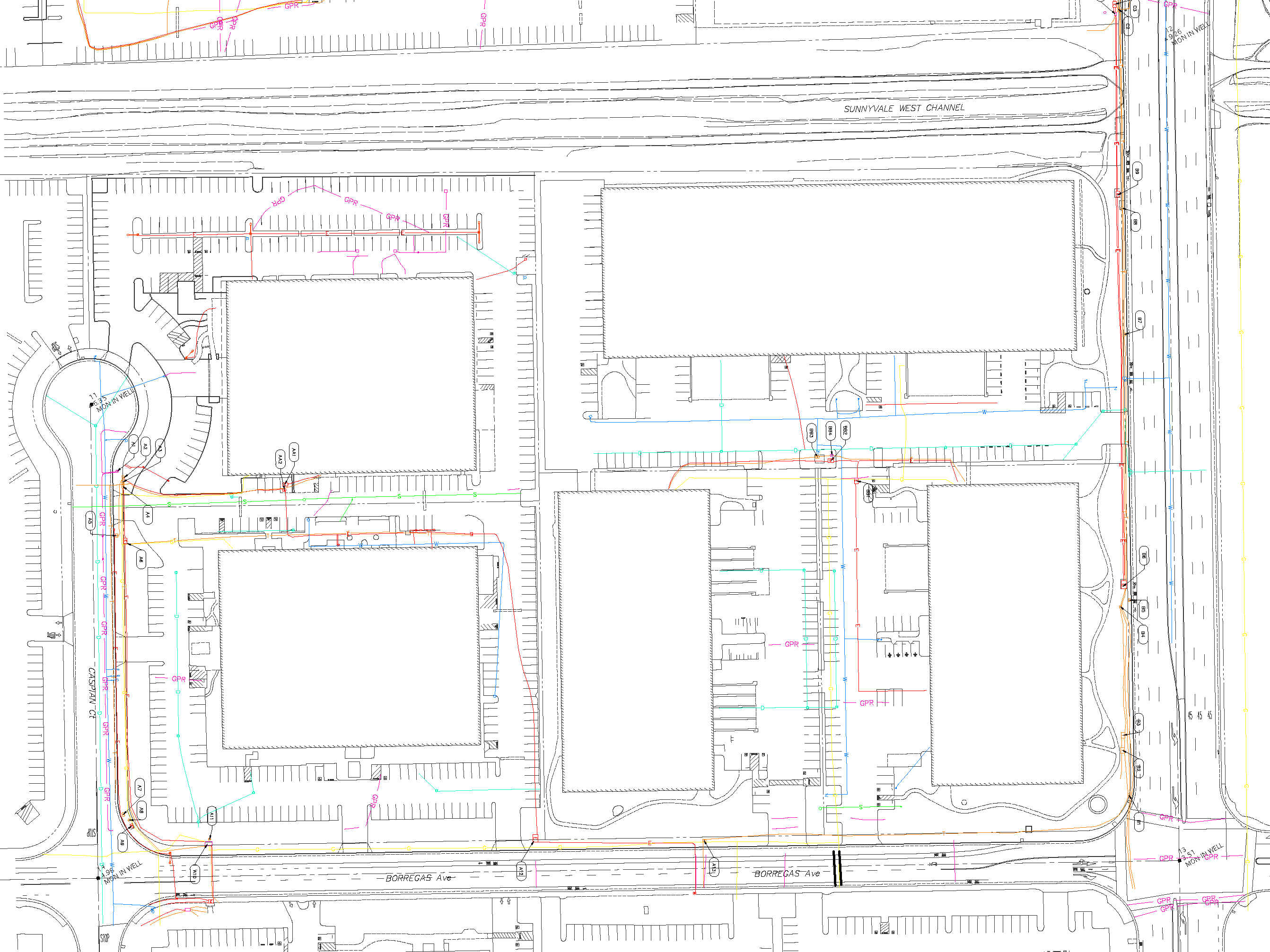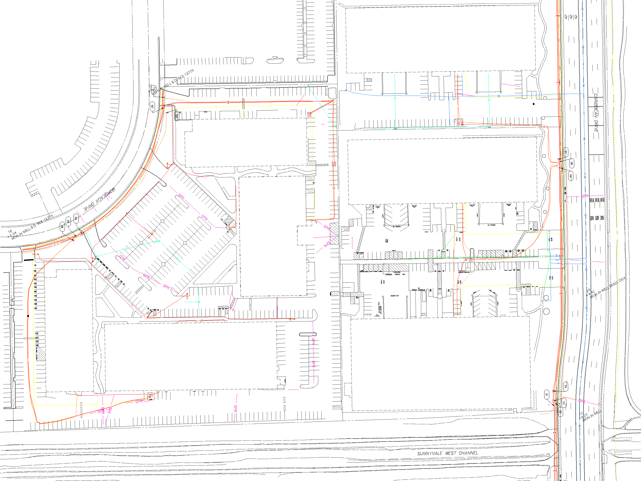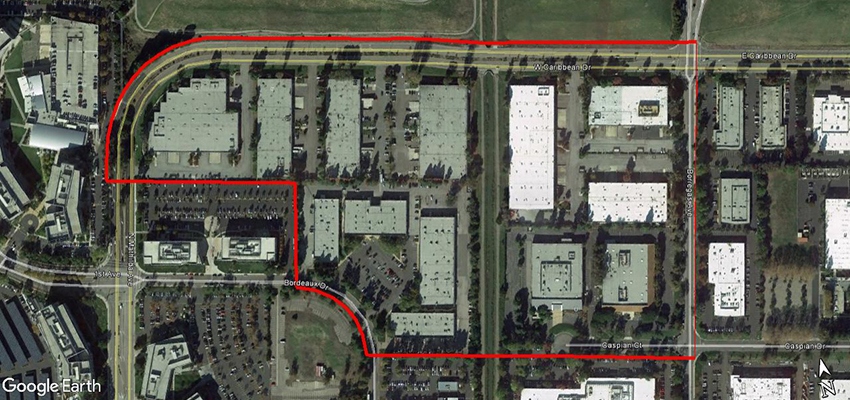
Services for this project included the mapping of all above and below ground utilities using a combination of electromagnetic pipe locating, mobile LiDAR, 3D Multi-channel GPR and pothole location layout and data collection. This 60 acre project was for the design and construction of new facilities for Google.